Saturday 10 September 2016

Playing Catch Up

During Mick and Gayle’s visit the other week, Gayle had ticked off a couple of Marilyns that actually feature on mine and Laura’s Trigpointing list that we have been putting off for a while, so, they had to be done, tout suite.

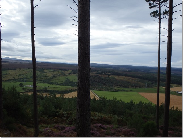
We were both a little short of free time, but an opportunity arose on Thursday morning and arrangements were made to meet at a suitable place to abandon a car and a van at the Hill of the Wangie. It was perfect walking weather to start, slightly cloudy, cool but not cold. We had some great views on the way up.

P9011498

The tracks always head uphill

P9011499

Ben Rinnes, through the trees

P9011500

Ben Rinnes to the left, the Cromdale Hills right of centre

P9011501

And without the trees in the way

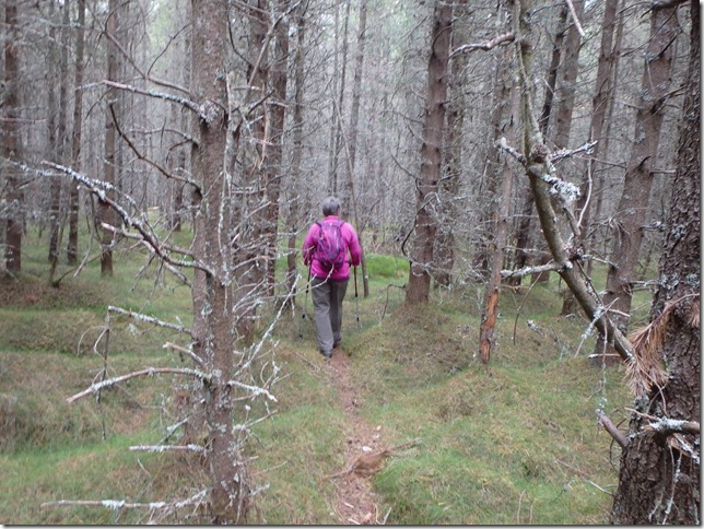
Having abandoned the vehicles, we set off round the gate and uphill at rather a pace. We soon settled down to a much better speed and made our way steadily up, up and yet further up. We were able to take a mix of forestry tracks and mountain bike routes, then we took a suitable looking firebreak with one or two blow-downs to negotiate before we had to take the plunge and weave our way through the trees in the general direction of the trig (using GPS at this point). It was not difficult to locate and we soon had this one ticked off.


P9011502

Following mountain bike tracks uphill

P9011503

In the middle of nowhere, an abandoned wheel barrow!

P9011504

Manageable

P9011505

Weaving through the trees

P9011506

The elusive trig

We decided to continue on along the firebreak we were now in until we met the forestry track further along than where we’d left it and made our way down from there.

We managed to stretch this one out to 2.57 miles and 478 ft roughly and it was really good fun to boot!

Having returned to the vehicles, we decided to move them to the next parking spot before having lunch, so off we went to Burgiehill, parked up and then I joined Laura in the van for a sandwich and a spot of Fly Flapping.

P9011507

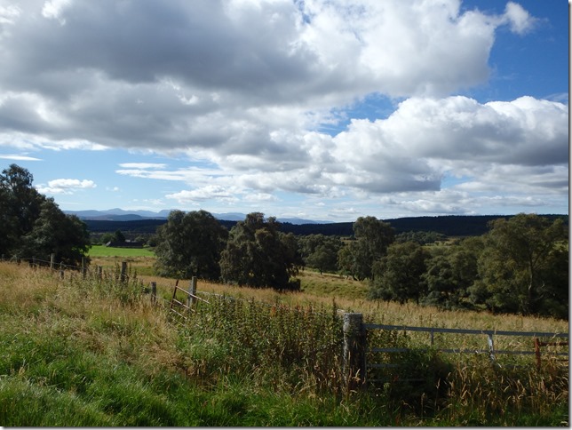
Another view of Ben Rinnes and the Cromdale Hills

P9011509

Fighting through the bushes

P9011510

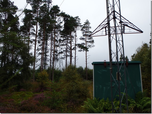
The trig is hidden in the trees and bushes on the left, with the large pylon behind…

We eventually set off to follow forestry tracks virtually all the way to the trig, with me recognising the tracks and realising, I’ve been here before, although several years ago and before I’d started ticking them off. Having found and found the trig, hidden in bushes next to a pylon, we initially decided on a more direct route out to meet the original track. After a short time, stumbling over heather, tussocks and the odd vicious fallen tree, we decided to cut down the next fire break instead, as we are lazy trigpointers and this was becoming less fun. And it started to rain.

There was no hanging about when we got back to the vehicles as I had washing on the line that needed to be rescued, so I shot off PDQ.

We stretched this one to 2.3 miles and 224 ft. We had quite a giggle, has to be said! Great fun Laura, thanks for the company and the laugh, on to the next!
Thursday 8 September 2016

A Trigpoint and an Accidental Marilyn

With the imminent arrival of visitors Mick and Gayle, I had to get the maps out (…opened Viewranger on my mobile…) and decide where I was going to take them. I quickly decided Carn na Loine was a good idea, as I had failed to walk it a couple of weeks previously after having sat and looked at it for a few minutes.

So, that was the plan and after a bit of morning faff, off we went to abandon the car near Auchnagallin and set off to take the track  to Auchnahannet. The weather was good, a beautiful sky with a few clouds and fabulous views, all part of the planning, of course. The track took us steadily, but gently, uphill till the point at which we had to leave it to strike out over open ground. It was a little heathery, a little tussocky and a little wet, but nowhere near as wet as I might normally expect for the area. I toiled somewhat up this little pimple of a hill, more than I had hoped for even if I had lost a little fitness since May. I regularly stopped to admire the view. A lot.

P8291483


P8291484


P8291485

Looking back along the track towards the Cairngorms

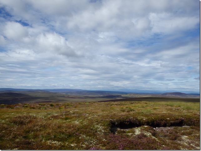
After some time, the ground flattened out and the trig came in to view. Photographs were taken, distant mountains were identified, then the chill began to set in and Gayle and I strode off confidently in the correct direction. It wasn’t hard.

P8291486

Towards the Black Isle, Ben Wyvis just right of centre

P8291487

The Knock of Braemoray, just left of centre

P8291488

Ben Rinnes

P8291489

The Cairngorms

P8291490

The going, however, was a bit testing. There was plenty more heather and tussocks with lots of deep, damp holes hidden amongst it all. There was some impressive arm waving accompanied by the obligatory “Woo hoo!!” It took quite some time to meet the track by Sgor Gaoithe that we were looking for and by the time we got there, it was declared to be time for lunch and a suitable picnic rock was found.

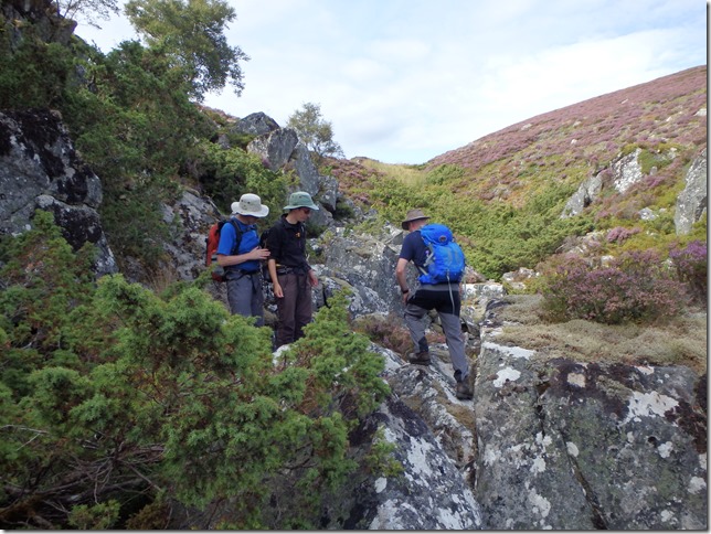
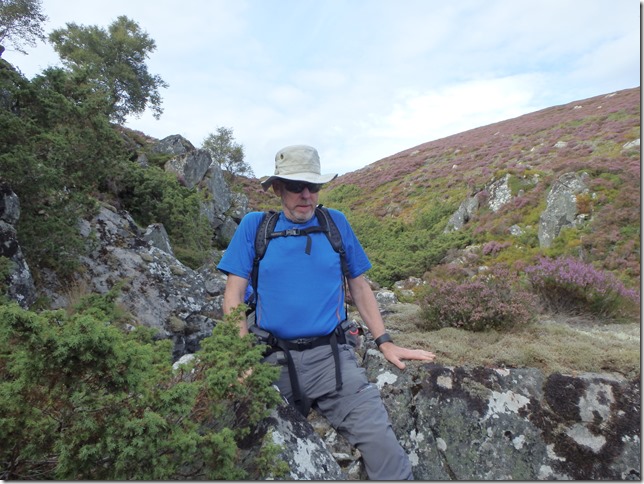
After lunch we went on a little adventure to find Huntly’s Cave, of which there are two in the area. This one was up a mini glen to the side of our track and a pleasant few minutes was spent scrambling around the rocks before we found what was just big enough to be called a cave. We soon went on our way as we were now but a short distance from the car.

P8291491

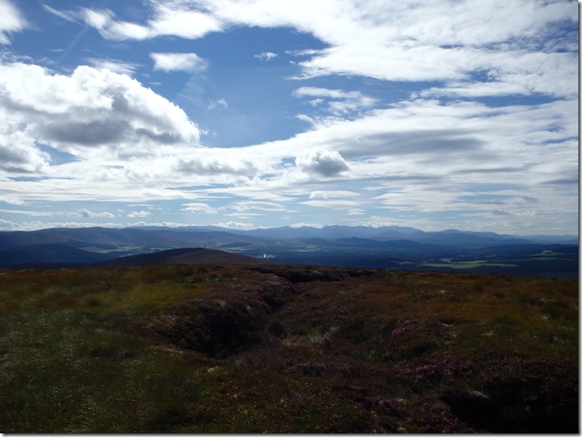
View from the lunch rock

P8291492

Heading along the mini glen

P8291493

Determined to find the cave

P8291494


P8291495

Following Mick back to the path

P8291496

Our hill, Carn na Loine, on the left, Tom Mor onthe right with the mast

It was a fabulous day! And a lovely walk with great company, made all the better when, once Gayle knew the hill I’d taken them to was actually on her list of Marilyns to be ticked. Bonus!

Thank you, and please come again!!

Approximately 5.83 miles and 1,092 ft