Wednesday, 29 August 2018

Popping up a Munro, just for fun!

Monday 27th August
Well, now that I am super fit, I really want to make the most of it, and occasionally I just want to see exactly how fit I am, so as it was a Bank Holiday weekend (not in Scotland, but David got one anyway) we decided to pop up a Munro. It was in fact one that I tried to bag nearly six years ago, but after reaching the bothy last time I’d decided I couldn’t be bothered to walk up into the clouds and I still had a cold hanging around. This time, the weather was perfect and I was 100% fit, so off we went!
P8272073
Head out of the clouds today
P8272074P8272075
Looking back
P8272076
Head of Loch Chuaich
P8272079


P8272080P8272081P8272082P8272083P8272084P8272085
Taking photographs on my mobile!
P8272086P8272087P8272088
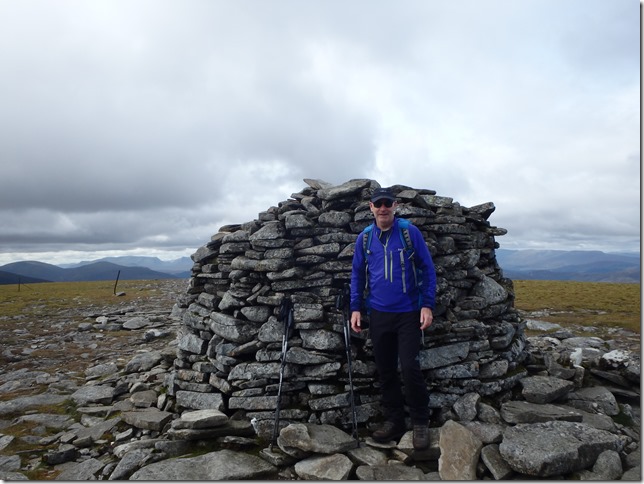
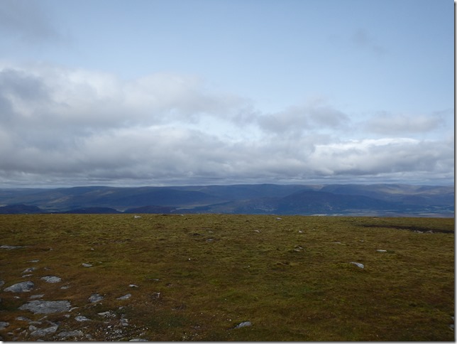
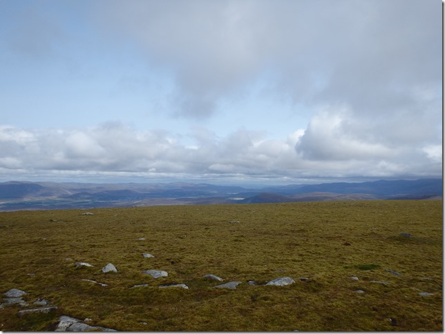
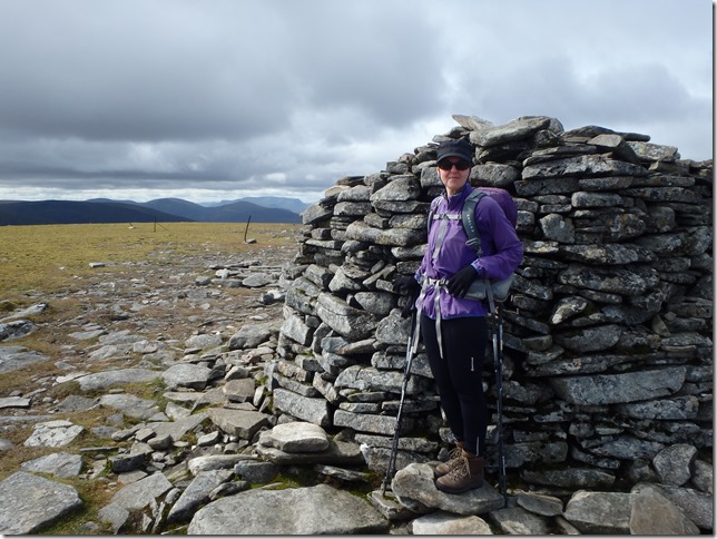
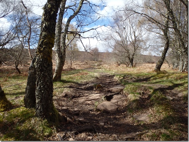
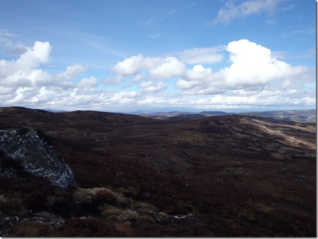
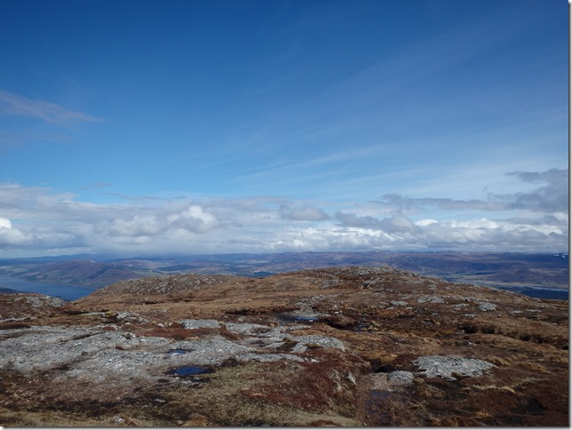
We left the car in layby 94 and headed along the track beside the aqueduct that took us towards the bothy. It is of course a locked bothy, very smart looking and with a locked toilet (common sense really, to lock a toilet) but after a quick break, we headed up hill. Apart from stopping to photograph a sign directing us to the “Walkers Path” (no apostrophe…) and the only hare that we saw, I walked straight up that hill. That’s 7.46 km 643 m ascent in 2 hrs and 3 mins. We took photographs then sheltered behind the huge cairn to have lunch. We were joined shortly after by a couple from Fife. After David had collected some litter, we made our back off the hill, passing to further couples and a young man with his French Bulldog.
We made ourselves useful before reaching the car, helping a shepherd and his noisy dog return an escapee sheep to its flock.
I cannot tell you how pleased I was to just walk straight up that hill. I have never been able to do that before, this running thing is working!
Approximately 14.8 km and 643 m total ascent. I loved it! A fantastic day out.

Return to The Argyll Stone…not

Sunday 27th May
The day after my 50th birthday, I fancied a bit of a stroll and the plan was to return to the Argyll Stone on Rothiemurchus. We decided to take a different, longer walk in so that we had a shorter walk to the car after leaving the ridge, so parked the car at Whitewells and walked in from there.
P5272066

P5272067
Not going that way!
P5272068


P5272069

It was very busy, but the weather was exceptionally warm and dry, so we had plenty of water with us. We made our way to Loch an Eilein, then took the path along the eastern edge of the loch, continuing on beside Loch Gamhna until we reached Allt Coire Follais. Here, we should have picked up the track we didn’t take last time, but had ignored in preference to the one marked on the map. That one hadn’t existed. It soon become clear this one didn’t either. We tried to follow it up hill where it should have been and according to Viewranger, were doing a very good job, but it was hard work through the dusty, overgrown heather, with hidden holes and fallen trees. After a short while, I decided it really wasn’t worth the effort, we would come back another day in cooler conditions and attack the Argyll Stone from the ridge instead.
We went back down to the path and decided to just continue around the lochs, stopping for lunch part way and then at the visitor centre for an ice-cream before returning to the car. Not the walk we’d hoped for, but a lovely day out, nevertheless.
Approximately 14.7 km total distance and 283 m total ascent

Friday, 8 June 2018

The Great Outdoors Challenge 2018


Well, I made it. A crossing with highs and lows, as one might expect when walking across Scotland, but so glad I perservered and pushed through the lows, I definitely finished on a high! The write up is here

Thursday, 31 May 2018

The Hill Before

A couple of weekends before the beginning of the Challenge, I wanted to test my fitness a bit and my new rucksack (Osprey Ariel 55 AG), on the spur of the moment, we went off to climb a hill we’ve been looking at from a distance for quite some time. It’s a very prominent, rounded lump, along the west of Loch Ness south of Drumnadrochit, Meall Fuar-mhonaidh. Off we set, having purchased our Meal Deals from Tesco, to drive to Balbeg and then abandon the car neatly just before the pottery.

P4282044

The lump we were heading for

P4282045

After leaving the car park, we followed a road for a short while to its end, then a path lead us to a pretty silver birch wood.

P4282046

The path through the trees eventually gave way to open hillside and the path continued gently upwards.

P4282047

There were showers around about us, but none came our way all day.

P4282048


P4282049

Still heading up.

P4282050

P4282052

A stile to cross the deer fence, good practice…

P4282051


P4282053

And the views just kept coming

P4282054

Along the Great Glen towards Inverness and the Moray coast

P4282055


P4282056


P4282057

…glad we weren’t caught in that downpour…

P4282058


P4282059


P4282060P4282061


P4282062


P4282063

The obligatory…

P4282064

My first primroses of the year

P4282065A bench, or a stile to nowhere?

I make no apologies for the amount of photographs, it was a glorious day and we had a fabulous day out. My pack was beautifully comfortable, although it was only half what I might expect to carry on the Challenge.

Roughly 9.34 km total distance 523m total ascent and 2.4km/h


Wednesday, 30 May 2018

Pre-Challenge Strolls

A short while before the Challenge, Laura and I had a couple of walks. The first, before the end of April, saw Laura arrive here with several gas canisters and a gadget. First, we went for a stroll (we’d been putting off playing with the gadget for about a year and a half, going for a walk wasn’t going to make much difference!), just my average morning walk, before returning to drink coffee and risk life and limb playing with the gadget and gas.

All went well and we were able to walk another day.

Roughly 11.4km total distance, 88.6m total ascent at 4.2 km/h

The second walk took place in Laura’s neck of the woods. We met in Aberlour and after visiting the Co-op, we set off for Little Conval. There are a few exposed sections of road walking before reaching the woods below the hill and we had been somewhat buffeted by the wind, we decided a discretion and valour thing, it was too windy for even a little hill as it is so exposed, so we thought we’d just check out the ends of the tracks we would be using to make sure they would go in future. We actually made a very pleasant circuit through the woods and had a thoroughly good walk, putting the world to rights and discussing all things route and gear related.

Roughly 12km total distance, 353m total ascent and 3.2 km/h

I have no idea why there is a distinct lack of photographs. Think we were too busy talking!