We set off on Tuesday morning and headed for The Cabrach on the way to The Buck, a little hill we'd intended to do last autumn, but hadn't been able to park because of snow. We headed back and were the only ones there when we arrived, apart from the guys in tractors in the field opposite making hay whilst the sun shone. We both decided to use the outdoor facilities, one at a time. David got away with it, no sooner did I find my spot than another car drew up! I waited for them to leave.
Eventually we were ready and we too headed for the little hill. Having climbed a gate, we followed a vague path until it was no longer any use to us, then cut across wet, boggy, tussocky ground to the fence line where there was another path that would take us all the way up hill. We could see the couple ahead of us, we gained on them slightly the whole way up. It's a steep little hill, goes on a bit, but you're soon at the top and there are good views. The couple were hogging the easy route up to the trig, so we had to scramble up the back of the trig, whereupon they promptly left.
It was quite breezy up there and a bit chilly, so we didn't hang around long, another one of those days when you pack your lunch with you, but take it all the way back again to eat. We followed the couple down and it soon became obvious that the young lady was not a seasoned walker and was being a little girly in her technique. She may have sat down a bit smartish on a couple of occasions. Not something I ever do, obviously...
Typical kind of ground
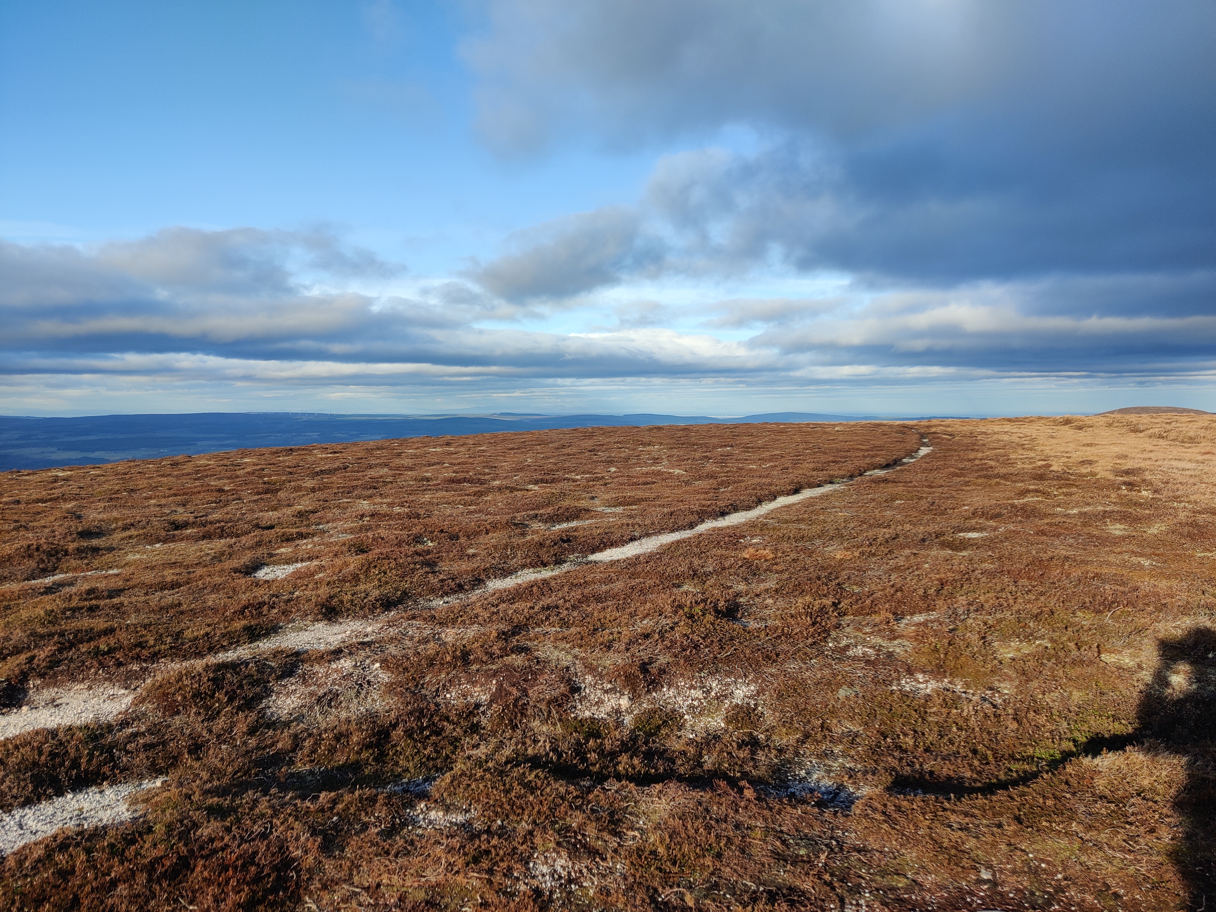
Handrailing
Going up
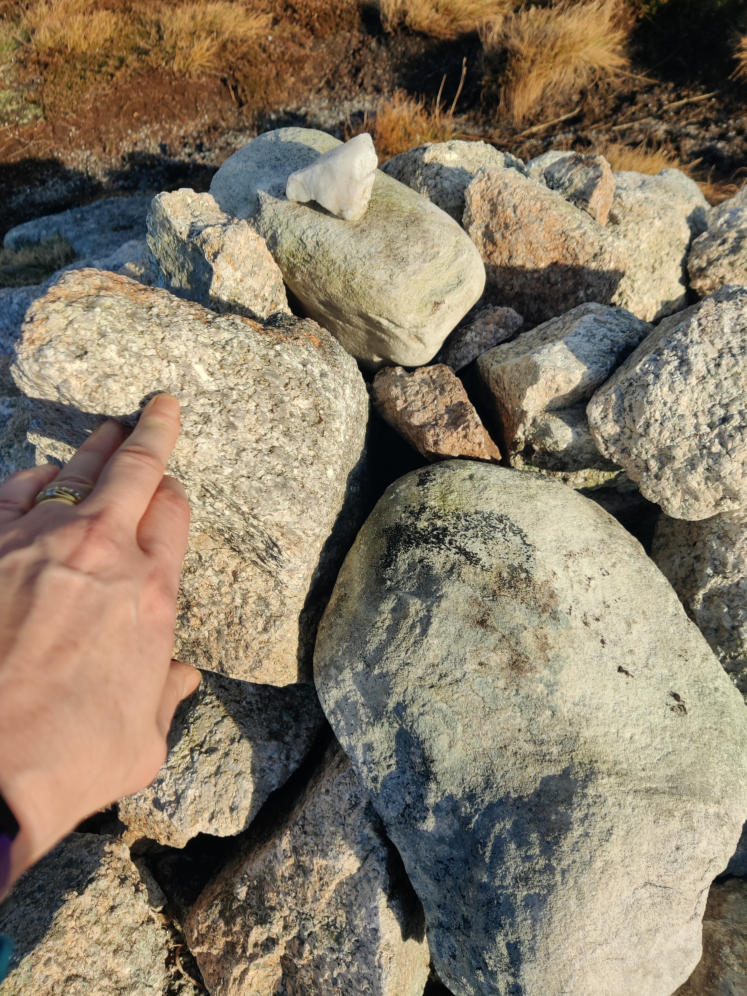
Trig on top of a rocky bit
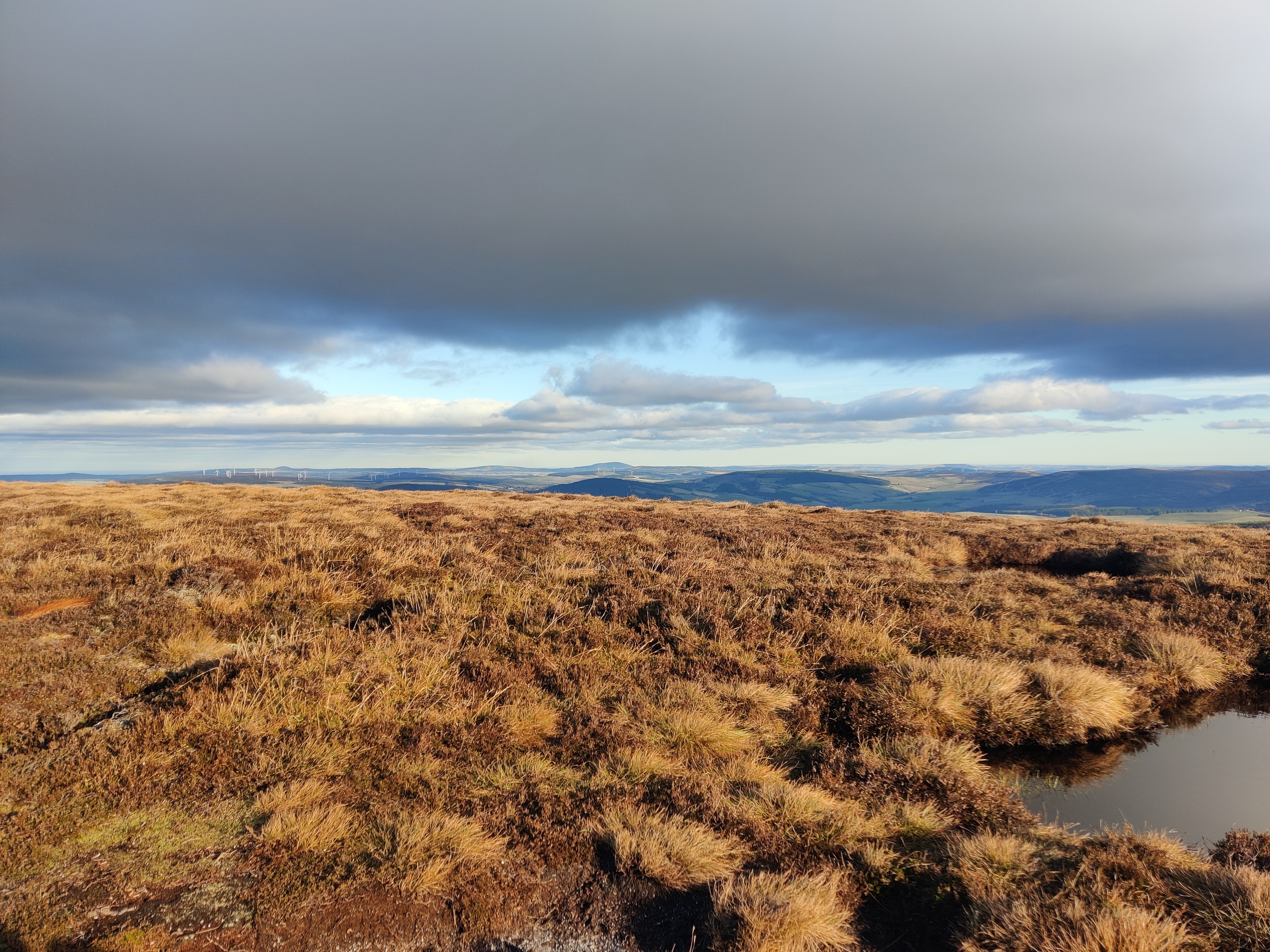
Looking east
Looking south
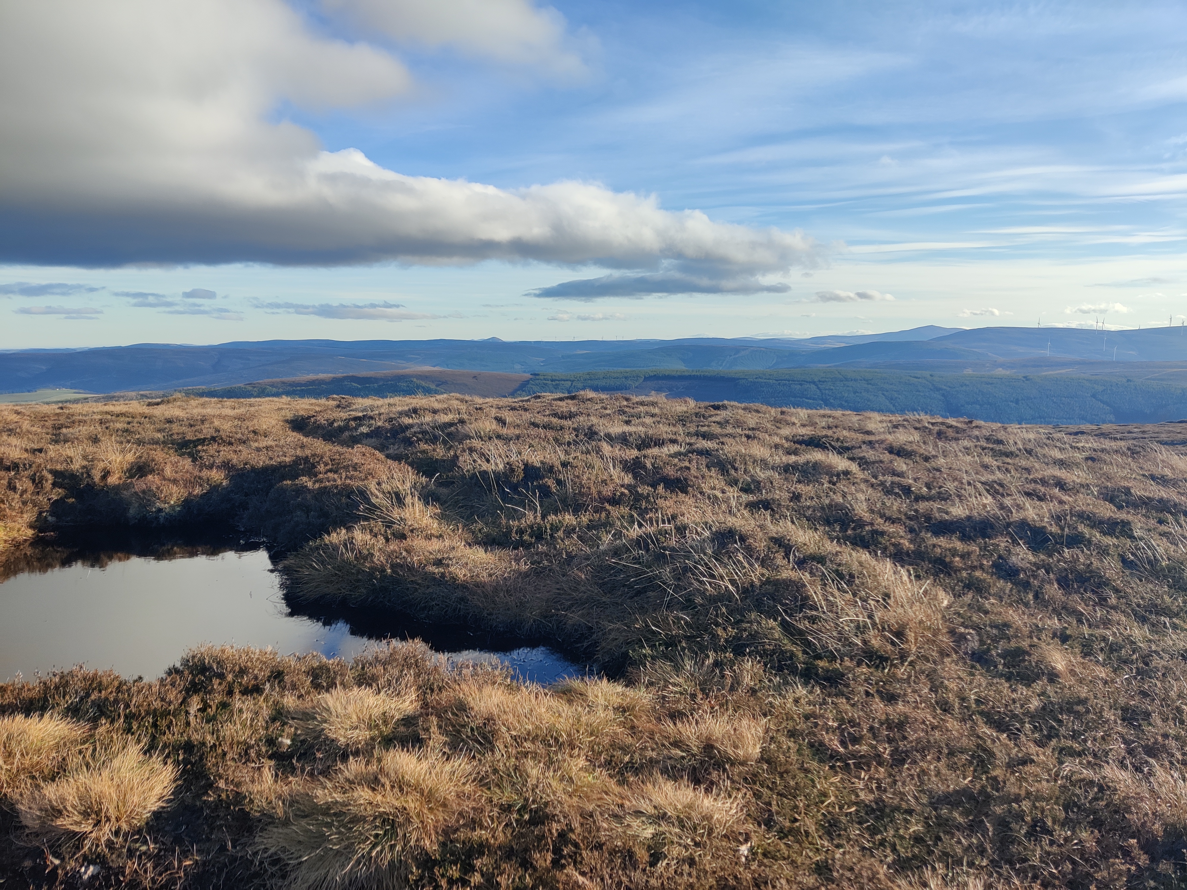
Looking west
Possibly looking north west-ish
Looking over the trig north
We soon caught them up but as they chose to cross the fence line we continued straight on for a while further and in doing so over took them. On reaching the point where we had intended to cross, we had a conflab and decided the ground straight ahead was just as rough but took a more direct line to the road, so off we went. It was mostly fine, but the heather did get a bit long at one point which I'm not a fan of, I do like to able to see where I am plunging my feet, deep holes are a nasty surprise. Much to our amusement, the young couple decided to follow us, we must have seemed to know what we are doing. How we laughed. Especially when we veered away from the fence line on a slightly high bank and had to scramble down to reach the road. I don't think the young lady will have liked that. Ooops. Still, a lesson learned at some point by all walkers, never follow someone because they look as if they know what they are doing... Once at the road, we legged it uphill, passed the gate and back to Ellie, where we changed our footwear, ate lunch and checked our route to where we'd decided to stop for the night. We wanted an open spot with a bit of height, in the hope of avoiding a million trillion midgies, having just about got rid of the mass of dead ones from Assynt trapped inside the air conditioning. Yuk.
Roughly 4.86 km and 321 m total ascent
We were headed for Our Layby above Ballater which we approached from Kildrummy and Stathdon. We were delighted to arrive and find that, once more, we would have the layby to ourselves. This is the only place we have ever been beeped as people speed by, this time by two vehicles, one of them an estate vehicle *sigh*
We had a lovely evening and a quiet night followed by a lazy start to the day, we had a walk planned but with no time pressures can really take our time and chill. David did another deliberately visible litter pick, although again, there was actually very little. Eventually we made our way to the car park at Corgarff Castle (currently closed due to Covid-19) We made lunch, changed into our walking boots and set off on a circular route to do a little hillbagging. Not long after we left we could hear a shoot in progress, but fairly confident it was in the hills opposite our intended target, we continued uphill. There was a momentary confusion as to which of hills visible to us was our intended target, but I was pretty certain it was ahead of us and not to our left. I was right.
Our route took us up towards the bealach between Carn Oighreag and the west top of Brown Cow Hill. Not surprisingly, it was a fairly continuous climb up hill, initially on a good track, but then off to follow a vague path across open ground. A bit wet in places, but not as rough as a lot of hills we walk. We made steady progress and soon reached spot height 823 m, followed by 829 m and then Cairn Sawvie where we decided to just drop slightly off the top and pick a soft mound to sit on for our lunch. There were ravens again, we've seen quite a few on our travels so far this year. We had wonderful views of Ben Avon, Beinn a/ Bhuird, the hills above the Lecht and towards Lochnagar. We lingered a while before heading off again, down to the bealach and then up again to reach Meikle Geal Charn, following an electrified fence all the way, down to the next bealach then up to Little Geal Charn where we crossed the fence to reach the spot height, returned to the correct side of the fence, when we spotted two people walking off the hill behind us, but they disappeared from view, presumably heading for the track beside Meoir Veannaich. We think they may have cycled in, stashed their bikes along the track and just made a quick out and back to bag the Corbett. Then we were off down and uphill again to reach the Well of Don on the way to Cairn Culchavie, the last high point. We disturbed a small group of young red deer stags, being downwind of them, they were aware of us but couldn't quite decide what we were. They dithered a while before making off over the side of the hill.

Corgarff Castle
We followed a vehicle track to cross an inconvenient crop field, probably for animal fodder
Purple heather clad hillsides. The little notch on the skyline is probably between Carn Leac Saighdeir and The Ca, made by the Delavine Burn
Checking we're heading the right way, after a little discussion
The peat hags were remarkably dry, soft and spongy to walk on, lovely walking!
Determined to visit the highest point
Remarkably featureless hilltop
Lots of berryless cloudberry
A little rocky atop Meikle Geal Charn
Oh, deer!
We were following another vague track as we headed down via Carn Leitir na Cloiche towards a small reservoir, then hit the main track to pass Inchmore and on to meet the tarmac road back to the castle car park where Ellie was waiting patiently for us.
Roughly 18.5 km and 661 m total ascent
I had thoroughly enjoyed our walk, I'm so used to climbing a hill and straight back down again, I rarely stay high and take in several high points on one route, this was a revelation and I loved it. Helped, I think, by the perfect weather and good going underfoot. Loved it!
The forecast for the next 24 hours was of rain and high winds, so as there were no signs to indicate we couldn't stop here, we decided it was a good place to be and we settled down for the evening. There were a few vehicles that passed us, one or two estate vehicles, but nobody bothered us. A few cars and a campervan visited whilst we had our dinner, but they only stopped briefly, got out to photograph the castle, then left again. At some point during the evening a vehicle parked up across the glen, facing Ellie, with their headlights on. A bit odd. Nothing came of it. We had a quiet evening followed by a wet and windy night, as expected. We heard a vehicle draw up in the night, but it wasn't until the morning we discovered it had been a car, the occupants of which had slept in their vehicle. They were no bother. More cars and a motorhome drew up, but again, just briefly to take photographs, before leaving again.
David did another deliberately visible litter pick, again there was barely anything, then we left, heading for a Graham to save me detouring my next Challenge route to bag it. We parked by the road where I had met Ian for coffee and second breakfast on last year's Challenge, donned our boots and an extra layer due to the breezy and cool conditions, then set off up the track. As we looked back, another car arrived and parked with Ellie and two walkers set out after as. This was another walk where most of the height is gained at the start of the walk on good tracks, before heading off to follow the fence line and vague trods to the first named hill, Scraulac. A short downhill to the broad bealach, then up to the next high point, Cairnagour Hill. This was followed by a steep downhill to a peaty bealach, then a short sharp uphill to Mona Gowan. Here we were greeted by the most unnecessarily huge cairn, we rested a while taking photographs before being joined by the first of the two walkers that had left after us. We chatted a while to the young man who was from Huntly and was intending to walk the entire ridge to take in Morven, along with his walking partner (his father we think). It was really nice to meet cheerful, chatty, friendly folk on the hill.

Making our way up hill
Scraulac
View from Cairnagour Hill
Morven on the right
Massive cairn on Mona Gowan
We retraced our steps to return to Ellie, but it was much quicker without all the stops to take photographs and seemed much easier. We were soon back with Ellie where we decided to have lunch when we'd reached our overnight destination, Ballater community campsite. We knew the facilities were not available other than the grey and black water disposal and fresh water, but that was all we wanted and were quite happy to support the local business. We also popped to the Co-op for a few fresh items before relaxing with Ellie and just chilling.
After an uneventful evening people watching and feeling like the poor relation amongst all the caravans and motorhomes, we had a good night before another relaxed start to the day. We planned to stay until it was time to leave the campsite, then be tourists on the way home via Tomintoul. The weather was a little grey, damp and uninspiring, so we didn't stop until we reached The Well of the Lecht, where we pulled in to visit the iron ore mine. It's a popular stop off, I've seen big family tents pitched by the side of cars here and was not surprised to find fresh tent shaped flattened areas of grass by the river, but disappointed to find lots of litter, mainly wet wipes, discarded by the path all the way to the mine and back. David collected everything we found in a Mountaineering Scotland Tak it Hame bag, again in a very deliberately visible way, which he was able to put in almost empty bin in the car park. This time, he had a large audience, as although we arrived to an empty car park, four vehicles soon joined Ellie. Most were friendly, the old lady with her dog stopped dead, in the middle of the track, apparently fearful to move. Very odd. And awkward to get passed. A couple at the car park seemed to be having a photo shoot, in the rain, she was sitting amongst the purple heather and he had a very long lens on his camera. I do hope she did a thorough tick check.


Then mine, nestled in the heather clad hills
Roughly 1.45 km and 71.6 m total ascent
We continued on a bit further to Tomintoul where we stopped for lunch before reaching the end of our journey. We had a fabulous trip, loved it.